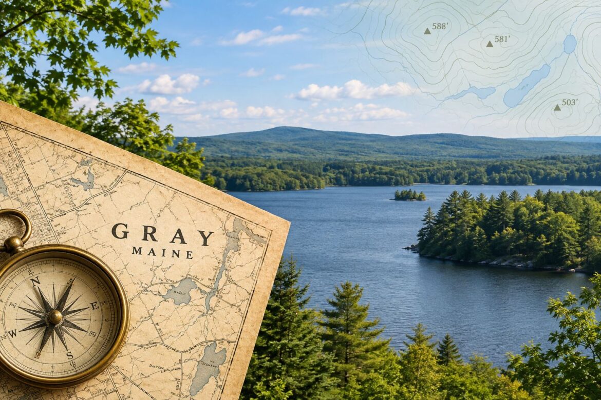
How much land and water makes up the Town of Gray? Where are its highest points? How large are its lakes and ponds, and where do its rivers begin and end? Some of the answers may be surprising—even to those who have lived in Gray for many years. Drawing on geographic information recorded in 1946, as well as measurements of the town and its natural features, the following facts offer a closer look at the landscape that makes Gray unique.
- The total area of Gray is 30,490 acres; 28,032 acres of land and 2,458 acres of water That’s 47.64 square miles total of which 43.80 square miles is land and 3.84 square miles is water.
- The highest point in Gray is on Adams Hill (Mountain View) and is 588 feet above sea level. The second highest point is on Dutton Hill and is 581 feet above sea level. Blackstrap in Falmouth is shown as having an elevation of 503 feet.
- There is only one Notched Pond in Maine. It is located in Gray, New Gloucester, and Raymond. Its length is 0.9 miles; its area is 0.24 square miles; and its elevation is 345 feet.
- In 1946 there were four Pleasant Rivers in Maine. One of these has its source in Gray and flows through Gray and Windham to the Presumpscot River. Its length is 13.0 miles. It falls 140 feet and drains 48 square miles.
- Little Sebago Lake is located in Gray and Windham. Its length is 6.4 miles; its area is 2.94 square miles; and its elevation is 285 feet.
- In 1946 there was only one Forest Lake in Maine located in Gray, Falmouth, and Cumberland. There were two Forest Ponds, Forest Lake was formerly called the Goose Pond. Its length is 1.05 miles; its area 0.31 square miles; and its elevation 275 feet.