View or Download Full View on digitalmaine repository.
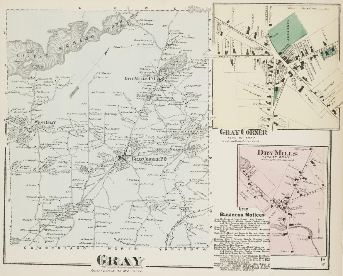
This detailed map of 1871 Gray is from the F.W. Beers Atlas of Maine, which is archived on Digital Maine, where you can view/download this and thousands of other images.
View or Download Full View on digitalmaine repository.
This detailed map of 1871 Gray is from the F.W. Beers Atlas of Maine, which is archived on Digital Maine, where you can view/download this and thousands of other images.